Route: Rossens – Fribourg – Düdingen, Staumauer/Camping
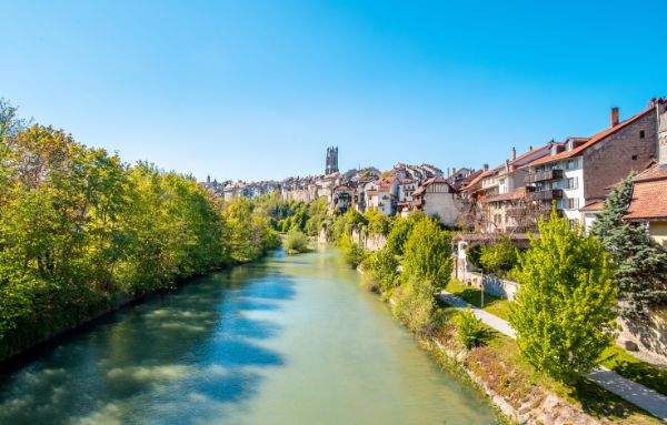
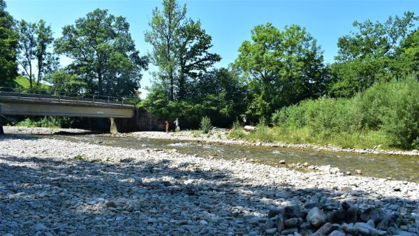
This hike between Rossens and Düdingen combines nature, history, and cultural heritage in the Fribourg valley of the Sarine. It follows the river’s winding course, passes several points of interest, and offers relaxing rest stops and scenic viewpoints.
This route forms the backbone of an entire network of trails, providing access to themed circular walks that showcase the richness of the region — gastronomy, sports, history, architecture, nature, culture, and economy — all elements that shape its identity.
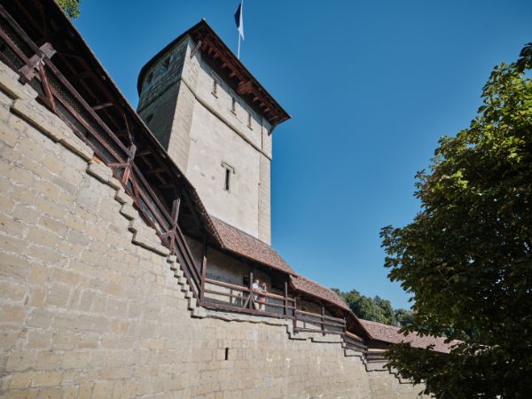
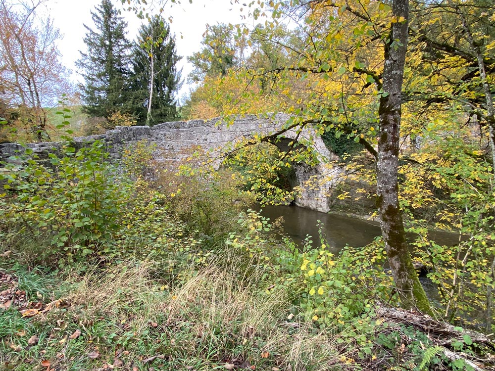
Along the way, old bridges, chapels, and industrial buildings bear witness to traditional craftsmanship and to the influence of the Sarine on local life throughout the centuries.
Stage 1: Rossens – Fribourg
Starting point: Bus stop, Rossens FR, village
Distance: 17 km
Duration: 4 hrs 45 mins
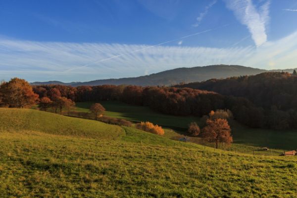
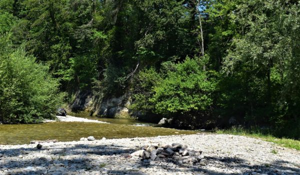
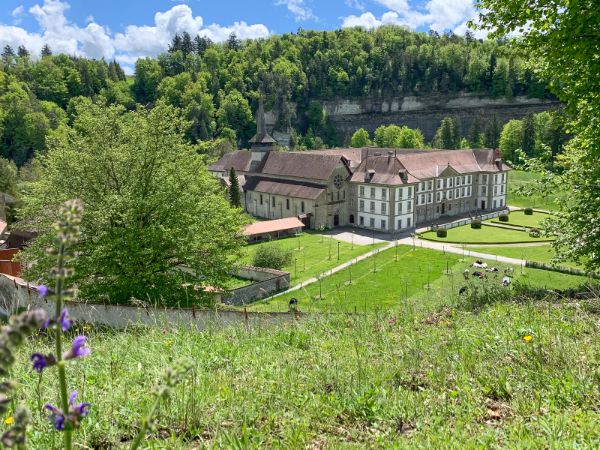
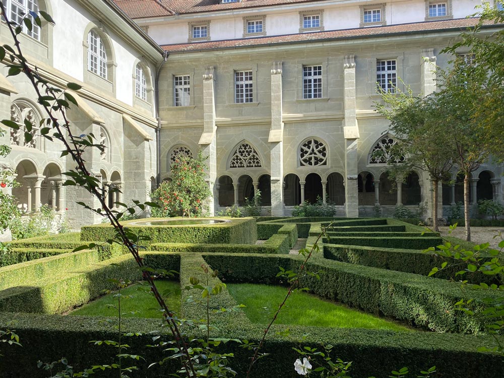
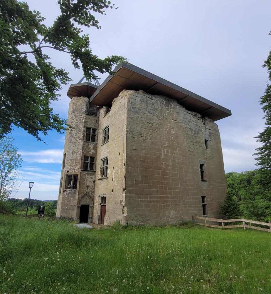
This wooded and hilly stage is characterized by a great diversity of landscapes and a rich natural heritage. The Sarine accompanies the route, offering numerous viewpoints and reflecting the close relationship between water and land. Among the remarkable sites along the trail are Castel d’Illens and Monastère de Hauterive.
Stage 2: Fribourg – Düdingen, dam / campsite (Staumauer / Camping)
Starting point: Bus stop, Fribourg, Charmettes
Distance: 21 km
Duration: 5 hrs 50 mins
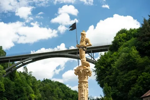
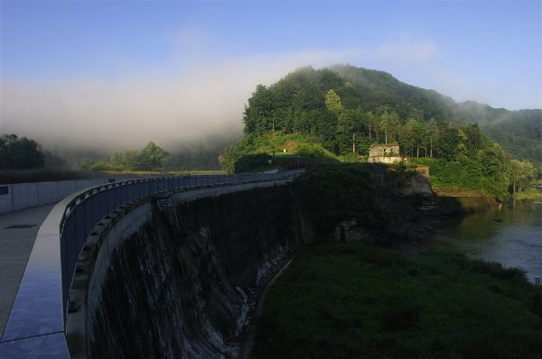
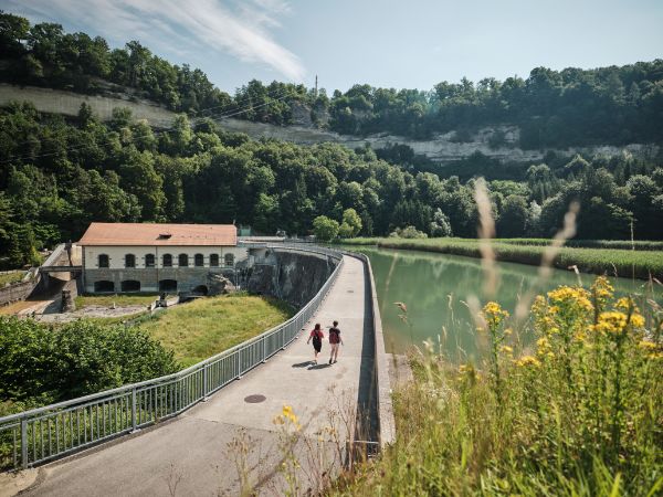
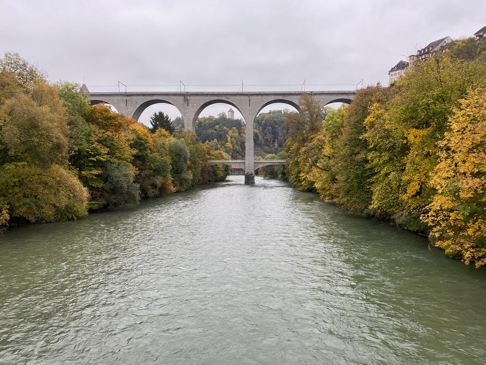
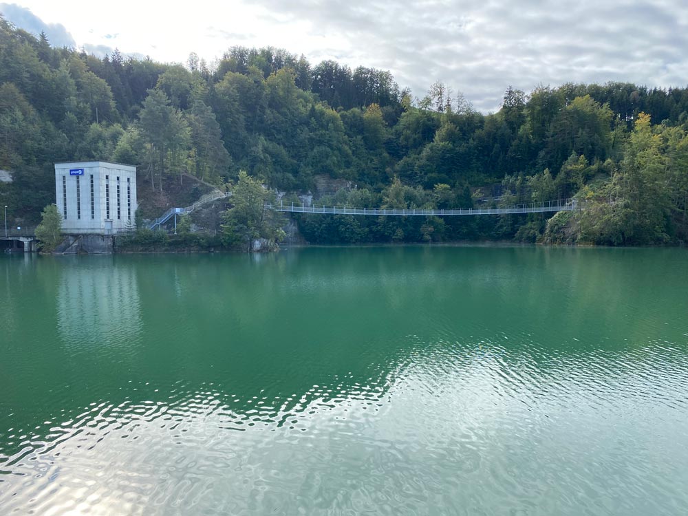
At the heart of this stage lies Lake of Schiffenen, which the route follows along its shoreline to its end at the dam. From Fribourg, the path first crosses the Lower Town before reaching the impressive Grandfey Viaduct.
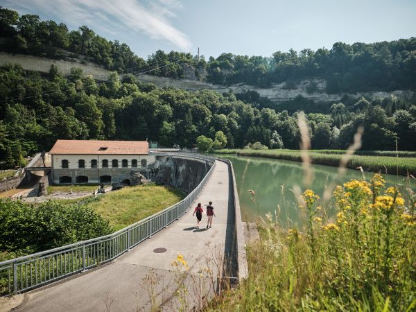
The trail then winds along the shore, alternating between forests and meadows an exciting hike combining urban cultural heritage, rocky cliffs, and unspoiled nature.
Links and downloads
Downloads:
Links:
Copyright
Copyright
Copyright
Copyright
Copyright

Copyright
Copyright

Copyright

Copyright
The starting point of the Sarine Trail in Fribourg is at the bus stop: Rossens, Village.
This hiking route ends at the Schiffenen campsite.
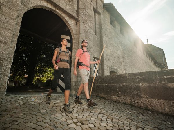
This hiking trail is family-friendly and suitable for all ages. Its rolling route is relatively easy, with no particular technical difficulty.
The Sarine Trail in Fribourg is not accessible to people with reduced mobility due to the nature of the paths.
However, the themed loop routes developed around the trail are designed for different target groups. It is therefore advisable to refer to the difficulty level indicated for each chosen loop to assess its accessibility.